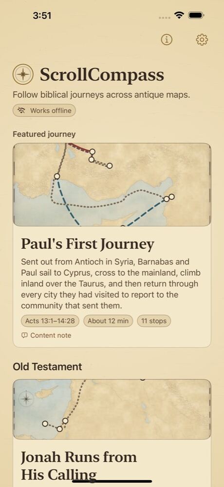
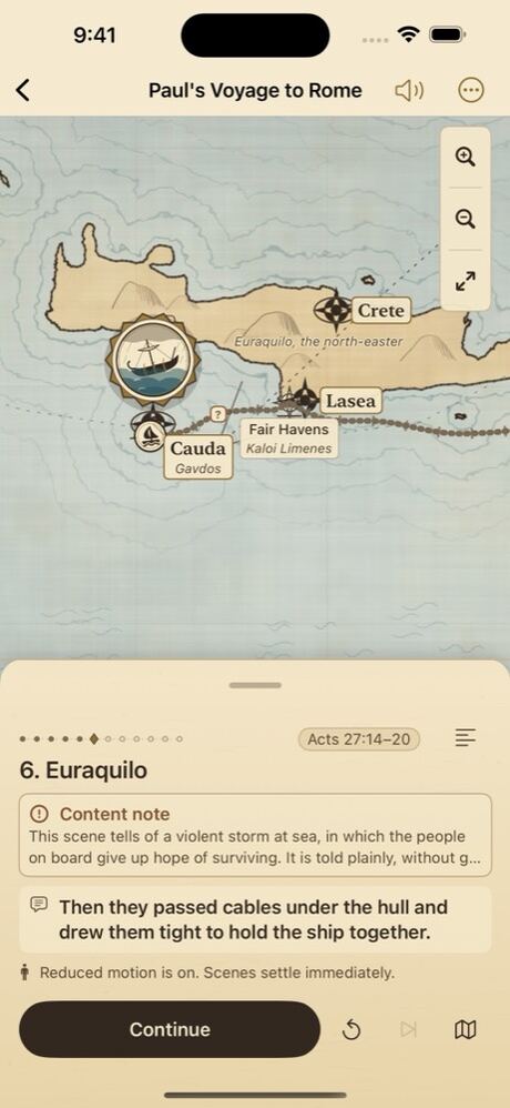
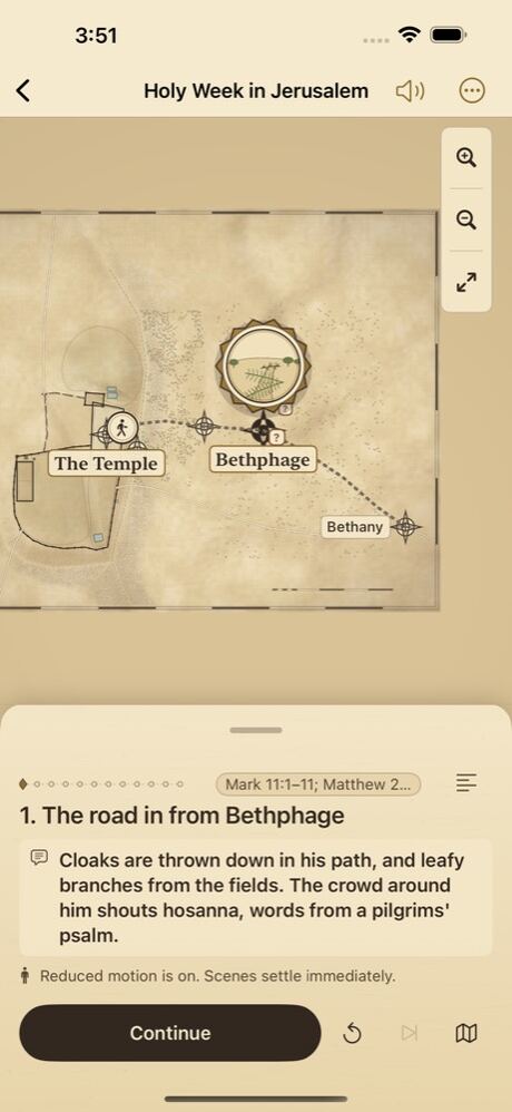
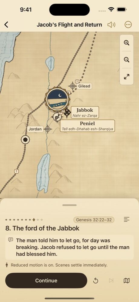
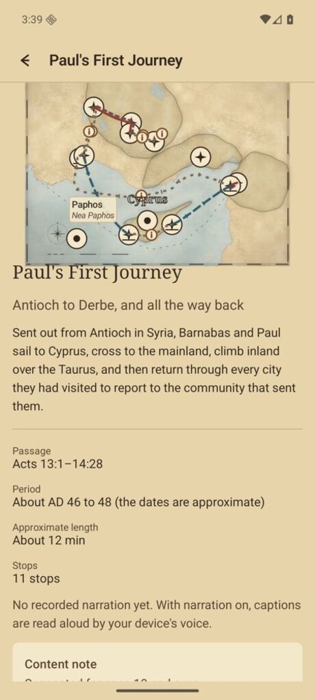
Each journey is a short story told on a map. The map is the stage: the camera moves from place to place, the route is inked in as you go, and a caption tells what happened there.
Follow the route
Routes are drawn across the map as the story moves: a solid line for roads, long dashes for sea lanes, a different dash for the way home, so no route depends on colour alone. Short original captions tie each scene to its passage, given as a chapter-and-verse reference.
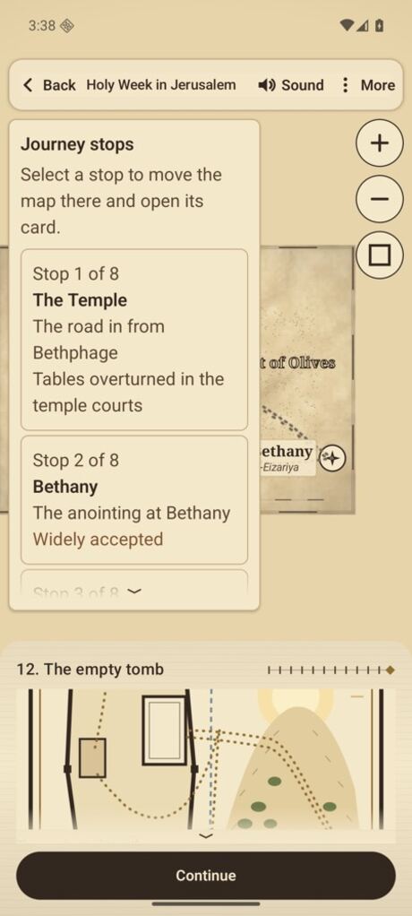
Journey stops
Every place in a journey is also in an ordered list. Choose a stop and the map moves there and opens its card: no gestures needed. You can leave the story at any time to pan and zoom around the map, and everything revealed so far stays on it.
Honest about what is uncertain
Not every place in the Bible can be pinned down. Where a site or a road is approximate, disputed or known only from tradition, the map says so: the route is dotted, the place carries a badge, and a note explains that particular case. Ancient and modern names are shown side by side.
Every place carries one of six certainty levels
Confirmed
The site is identified with confidence, usually through excavation or an unbroken record of the name.
Widely accepted
Most scholars agree on this identification, though it has not been settled beyond question.
Traditional
The identification comes from long tradition rather than from direct evidence.
Approximate
The general area is known, but the exact position shown here is an estimate.
Disputed
Scholars propose different locations. This map shows one of them and says so.
Unknown
The location is not known. It is placed here only to keep the sequence of the journey readable.
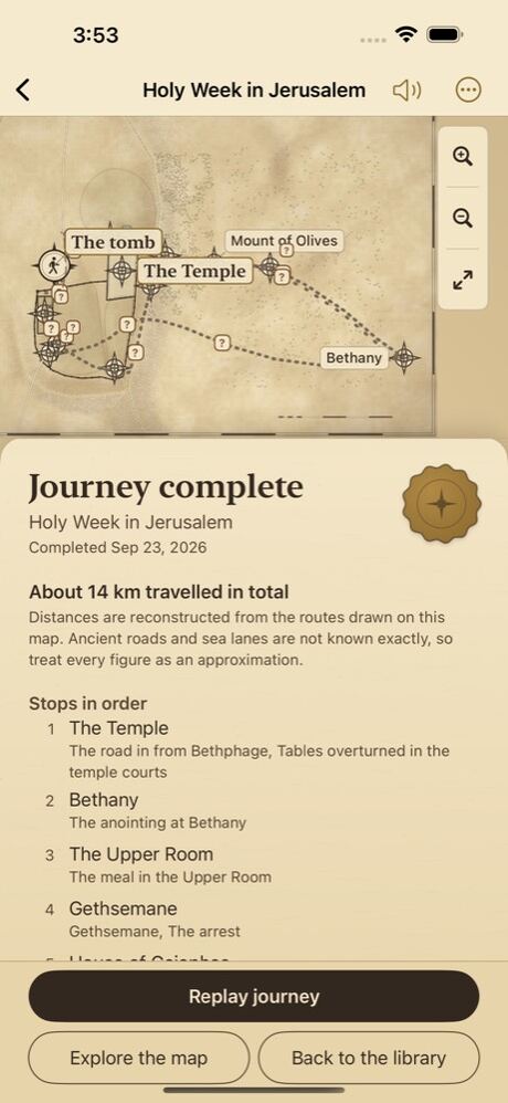
Journey complete
At the end of each journey, a summary lists the stops in order, the key events and the passages, with the approximate distance travelled. Distances are reconstructed from the drawn routes and are always given as approximate.
31 journeys, from Genesis to Acts
Old and New Testament journeys on six maps, from Abraham's road out of Ur to Paul's voyage to Rome.
The interface, the captions and the map labels are available in six languages. You can change this at any time, even in the middle of a journey.
English
简体中文
Español (Latinoamérica)
Português (Brasil)
Deutsch
Français
English is the original text. The five translations were written with care, but native-speaker editors have not reviewed them yet.
Offline by design
Every map, illustration, caption and sound file is installed with the app. ScrollCompass makes no network requests at all, and works exactly the same in airplane mode.
ScrollCompass collects nothing. No name, no email address, no location, no contacts, no advertising identifier, no analytics and no crash reporting. There is no third-party SDK that could collect anything on its behalf.
Every journey carries age guidance and a note for parents and teachers. Difficult passages are stated plainly and briefly, never dramatised, and a content note appears before the scenes that need one.
Age guidance for every journey: 7 and over, or 10 and over
No scoring, streaks, badges or leaderboards
No chat, no comments and nothing shared with strangers
Coming soon
ScrollCompass is being prepared for the App Store and Google Play.
Coming soon to the App StoreiPhone and iPad, iOS 17 or later
Coming soon to Google PlayAndroid 8.0 or later
ScrollCompass is not in the App Store or Google Play yet. This page will link to both as soon as it is.